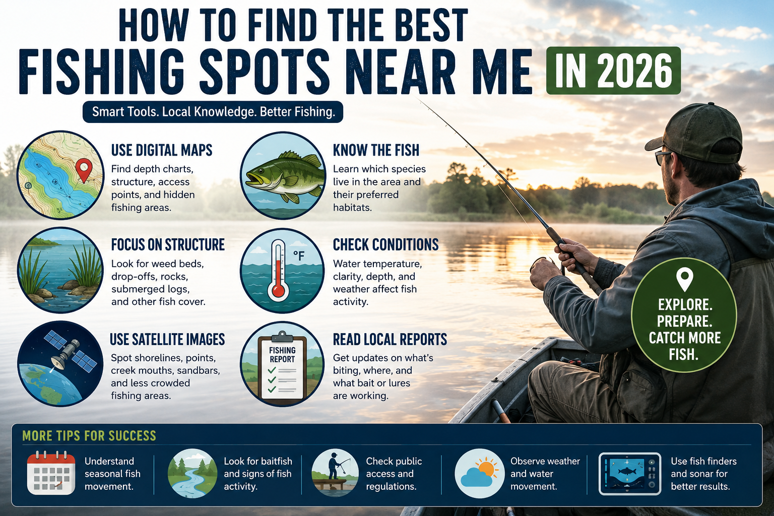
The best fishing spots are places with healthy fish populations, suitable water conditions, and legal public access. In 2026, anglers can use modern maps, fishing apps, local reports, and environmental data to locate productive fishing areas more easily than ever.
Use Digital Fishing Maps
Digital fishing maps are one of the most effective tools for finding fishing spots. These maps provide information about lakes, rivers, ponds, reservoirs, and coastal fishing areas.
Modern fishing maps often include:
| Feature | Benefit |
|---|---|
| Water depth maps | Helps locate fish holding areas |
| Structure maps | Shows drop-offs, points, and underwater features |
| Access points | Identifies legal entry locations |
| Boat ramps | Helps boat anglers launch easily |
| Species information | Shows common fish in the area |
Fish often gather near underwater structures such as rocks, weed beds, submerged timber, and ledges. Mapping tools help anglers identify these locations before arriving.
Check Local Fish Species
Knowing which fish species live in an area helps narrow the search for productive spots.
Different fish prefer different environments.
| Fish Species | Preferred Habitat |
|---|---|
| Bass | Vegetation, docks, submerged structures |
| Trout | Cool, clear, moving water |
| Catfish | Deep holes and slow-moving water |
| Crappie | Brush piles and submerged cover |
| Walleye | Deep water and rocky areas |
| Pike | Weed edges and shallow vegetation |
Understanding fish behavior allows anglers to choose locations where target species naturally gather.
Study Water Depth
Depth plays a major role in fish location throughout the year.
Shallow water may attract fish during feeding periods, while deeper water often provides shelter during extreme temperatures.
General depth guidelines include:
| Water Area | Fishing Potential |
|---|---|
| Shallow flats | Good during feeding times |
| Drop-offs | Excellent transition zones |
| Deep holes | Common holding areas |
| Underwater humps | Productive for many species |
| Channel edges | Fish often travel along them |
Depth charts help anglers identify these key locations before fishing.
Look for Natural Fish Cover
Fish seek protection from predators and strong currents. Areas with cover usually hold more fish.
Common fish cover includes:
- Fallen trees
- Weed beds
- Lily pads
- Docks
- Rock piles
- Brush piles
- Submerged logs
- Bridge pilings
Locations with multiple forms of cover often produce better fishing results than open water.
Analyze Water Conditions
Water conditions influence fish activity every day.
Important factors include:
Water Temperature
Fish become more active within certain temperature ranges.
For example:
| Fish Species | Preferred Temperature Range |
|---|---|
| Bass | 60°F to 80°F |
| Trout | 50°F to 65°F |
| Walleye | 55°F to 70°F |
| Catfish | 70°F to 85°F |
Checking water temperatures can help identify active feeding zones.
Water Clarity
Clear water often requires lighter fishing tackle and natural bait presentations.
Murky water may encourage fish to move closer to shore and rely more on vibration and scent.
Water Level
Rising and falling water levels can change fish locations.
Fish frequently move toward newly flooded areas during higher water conditions.
Use Satellite Images
Satellite imagery provides valuable information about fishing locations.
Anglers can identify:
- Shoreline access
- Weed growth
- Small coves
- Creek mouths
- Sandbars
- Points
- Islands
- Backwater areas
Satellite images also help locate less crowded fishing spots that many anglers overlook.
Focus on Fish Feeding Areas
Fish spend much of their time near food sources.
Productive feeding areas include:
Creek and River Mouths
Where smaller streams enter larger bodies of water, food and oxygen levels often increase.
Weed Lines
Aquatic vegetation attracts insects, baitfish, and predators.
Points and Peninsulas
Fish often travel along points while searching for food.
Current Breaks
Fish conserve energy behind rocks, logs, and structures while waiting for food to pass by.
These locations consistently attract feeding fish.
Review Local Fishing Reports
Fishing reports provide current information about fish activity.
Useful information may include:
- Species being caught
- Productive locations
- Effective bait
- Water conditions
- Seasonal patterns
Recent reports can help anglers avoid unproductive areas and focus on active fishing locations.
Understand Seasonal Fish Movement
Fish locations change throughout the year.
Spring
Fish often move into shallow water for spawning and feeding.
Look for:
- Protected coves
- Shallow flats
- Shoreline vegetation
Summer
Fish may seek cooler and deeper water during hot weather.
Common locations include:
- Deep channels
- Offshore structures
- Shaded cover
Fall
Fish frequently increase feeding activity before winter.
Look for:
- Baitfish schools
- Creek channels
- Transition areas
Winter
Many species move into deeper and more stable water.
Focus on:
- Deep holes
- Reservoir channels
- Slow-moving water
Seasonal awareness helps anglers locate fish more efficiently.
Identify Public Fishing Access Areas
Access is an important part of finding a fishing spot.
Public fishing locations often include:
| Access Type | Description |
|---|---|
| Public lakes | Open fishing access |
| Community ponds | Easily accessible areas |
| Fishing piers | Shore-based fishing opportunities |
| Wildlife areas | Managed public fishing waters |
| Reservoirs | Large fishing environments |
| Public riverbanks | Walk-in fishing access |
Always verify access regulations before fishing.
Check Fishing Regulations
Fishing laws vary by location and species.
Before selecting a fishing spot, review:
- License requirements
- Size limits
- Daily catch limits
- Seasonal restrictions
- Protected species regulations
- Special area restrictions
Following regulations helps protect fish populations and ensures legal fishing activities.
Search for Areas with Baitfish
Predatory fish follow food sources.
Signs of baitfish activity include:
- Surface movement
- Bird activity
- Visible schools of fish
- Disturbed water
- Jumping baitfish
When baitfish are present, larger game fish are often nearby.
Observe Weather Conditions
Weather affects fish behavior.
Cloud Cover
Many fish become more active under cloudy skies because sunlight penetration decreases.
Wind
Moderate wind can improve fishing by concentrating baitfish and increasing oxygen levels.
Air Pressure
Stable weather patterns often produce more predictable fish behavior.
Monitoring weather conditions helps anglers choose better fishing times and locations.
Explore Less Pressured Waters
Popular fishing locations often receive heavy angling pressure.
Less crowded waters may offer:
- Larger fish
- More natural fish behavior
- Better catch rates
- Reduced competition
Examples include:
- Small lakes
- Remote ponds
- Backwater channels
- Secondary reservoirs
- Unmarked public access areas
Researching lesser-known waters can reveal productive fishing opportunities.
Evaluate Shore Fishing Opportunities
Many excellent fishing spots can be reached without a boat.
Strong shore fishing locations often include:
- Fishing piers
- Bridges
- Rocky banks
- Points
- Creek mouths
- Docks
- Public parks near water
Shore anglers should focus on areas where deeper water is accessible from land.
Use Fish Finders and Sonar Technology
Modern fish-finding technology has become more advanced in 2026.
Fish finders help anglers locate:
- Fish schools
- Bottom structure
- Water depth
- Vegetation
- Temperature changes
These tools reduce guesswork and improve fishing efficiency.
Pay Attention to Water Movement
Moving water creates oxygen and transports food.
Areas with water movement often attract fish.
Examples include:
- River bends
- Spillways
- Inlets
- Outlets
- Dam tailwaters
- Tidal channels
Fish frequently position themselves where moving water delivers food while allowing them to conserve energy.
Signs of a High-Quality Fishing Spot
Several indicators suggest a productive fishing location.
| Indicator | Why It Matters |
|---|---|
| Presence of baitfish | Food source for predators |
| Healthy vegetation | Shelter and feeding habitat |
| Water movement | Oxygen and food transport |
| Underwater structure | Fish holding areas |
| Seasonal fish activity | Increased catch potential |
| Legal public access | Easier fishing opportunities |
When multiple indicators exist in the same location, the chances of finding fish generally increase.
Common Mistakes When Choosing Fishing Spots
Many anglers waste time by selecting locations without proper research.
Common mistakes include:
- Ignoring seasonal fish movement
- Fishing water that lacks structure
- Overlooking access restrictions
- Not checking local regulations
- Ignoring weather conditions
- Fishing only visible shoreline areas
- Failing to study water depth
- Choosing heavily pressured locations without alternatives
Avoiding these mistakes can improve fishing success and save time on the water.
Best Sources for Finding Fishing Locations
Several information sources can help identify quality fishing spots.
| Source | Information Provided |
|---|---|
| Fishing maps | Depth and structure data |
| Satellite imagery | Shoreline and habitat details |
| Fishing reports | Recent catch activity |
| Wildlife agencies | Public access information |
| Local tackle shops | Area-specific knowledge |
| Fisheries departments | Species and stocking data |
| Fishing communities | Current fishing conditions |
Using multiple sources provides a more complete picture of any fishing area and helps anglers locate productive spots with greater accuracy.